

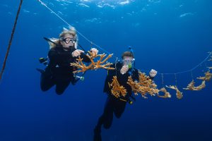
Photogrammetry extracts 3-dimensional information from multiple photos of the same thing. In a nutshell, it relies on computer vision processes to find overlapping points between photos, and then can re-create the original 3-dimensional orientation of the cameras and the things you photograph. At the Perry Institute for Marine Science, we’re using photogrammetry as a tool for both reef health monitoring and for education.By taking photos in a grid over sections of a coral reef, we can build extremely high-resolution maps of the benthic surface that can be analyzed in a host of different ways, complementing our underwater data collection and enabling us to keep better track of how reefs are changing over time. The process also can be used to generate 3D models of corals, which are an amazing tool for research, and for education. The 3D models are high enough resolution to be used to demonstrate what reefs actually look like underwater, helping to show people who may never get the chance to scuba dive the magical world of corals. It can also serve as a great tool to teach future marine biologists how to identify different species before they even put on a mask.
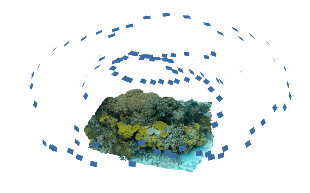
First, divers take multiple photos of the same reef section or coral head, following a grid-like pattern. Then, these photos are processed into high-resolution 3D models using Agisoft Metashape software.
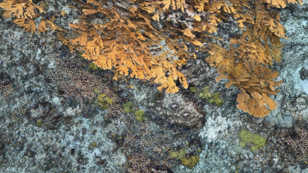
This 3D model above, created using photogrammetry, includes critically endangered Elkhorn (Acropora palmata) and Staghorn (Acropora cervicornis) corals. Can you spot these two species?
Practice Identifying Common Caribbean Corals Below
The model below is an example of a reef ball, built by tiny coral organisms laying down their calcium carbonate skeletons on top of one another over thousands of years, at Sandy Cay Reef off Abaco. The model was constructed from just 36 photos,taken while swimming in a circle around the ball, and demonstrates the remarkable diversity of hard corals found within just a couple square meters of reef. There are at least nine different species visible! Click through the annotations in the interactive model to check them all out.Note: This is best viewed in a web browser on a computer, not on a mobile device.
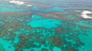
Green Turtle Cay Travel Guide for Divers
Plan your diving trip to Green Turtle Cay, Bahamas. Discover the best dive sites, coral reefs, how to get there, where to stay, and why this Abaco island is a hidden gem for underwater adventure.
PIMS Blog Template
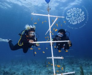
Want to help restore coral reefs? Here’s how to volunteer with PIMS and the Reef Rescue Network, from dive-based restoration trips to snorkel programs, citizen science, and remote support.
Become a PADI Dive Instructor in The Bahamas | Conservation-Focused IDC
Become a PADI Dive Instructor in The Bahamas | Conservation-Focused IDC | Perry Institute for Marine Science Education & Training Ready to take your diving skills to the next level
Stream2Sea Coral Care: The World’s First Reef-Positive Sunscreen
Stream2Sea Coral Care: The World’s First Reef-Positive Sunscreen | Perry Institute for Marine Science Conservation Partners Stream2Sea Coral Care: The World’s First Reef-Positive Sunscreen Discover why PIMS has partnered with

Build a Coral Reef for the Holidays | PIMS x Partanna
PIMS is partnering with Partanna to build a 100m² carbon-negative reef. Rick Fox is matching donations up to $25k. Help us build a sanctuary for the future.
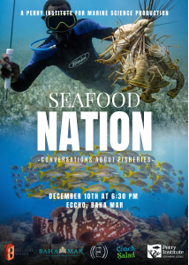
“Seafood Nation” Documentary Premiere Explores the Heart of Bahamian Culture and the Future of Fisheries
NASSAU, The Bahamas | December 5, 2025 – From the bustling stalls of Potter’s Cay to family kitchen tables across the archipelago, seafood is far more than just sustenance in